The start point for the GC 220 route up into the northwest highlands of Gran Canaria is this roundabout on the GC 2 road between Galdar and Agaete. Look out for the tiny hermitage and head inland. You're heading into an area of Gran Canaria that's as different as possible from the beaches of the south coast.
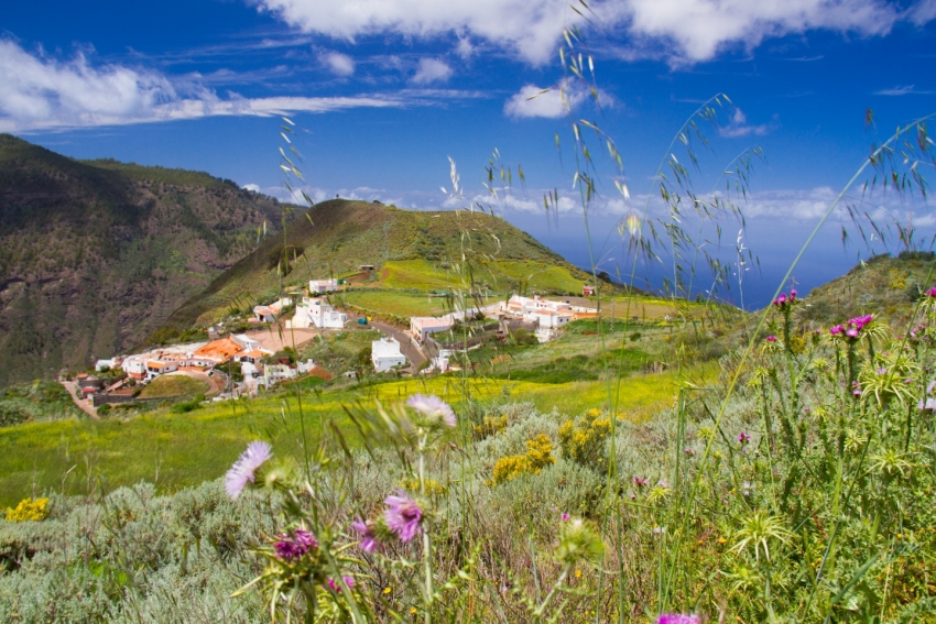
This is rural Gran Canaria where there's plenty of water and lots of greenery; it's like visiting The Shire. You pass little villages surrounded by terraced farms and palms, wildflower meadows during spring, and fields of potatoes growing in the red earth. Here it's goats and partridges that block the road rather than traffic; the only vehicles are local cars and little farm trucks and the odd convoy of tourist minibuses (the Secret Tours of Gran Canaria use this road).
On the first section of the road, look out for cliff-edge Hoya Pineda hamlet, famous for its aboriginal-style hand-made pottery. Stop here for a walk around a local village and great views of the north coast. Then carry on up through villages with great names like San José de Caíderos, Fagajesto and Juncalillo. There's not much to experience in them except than rural peace and local cafes.
Just past Fagajesto village you come to the turnoff for the GC 217 road to Artenara that takes you up past pine-fringed reservoirs and towards the Tamadaba massif and pine forests. Don't miss the GC 216 loop road that gets you right out onto the edge of Gran Canaria's western cliffs.
After Juncalillo village the GC 220 winds up towards the pine forests and joins the GC 21 road between Lanzarote village and Artenara. At the junction, turn right or west for Artenera or left or east for Lanzarote, Valleseco and ultimately Teror.
Lex says: Even if you're heading to Artenara, it's worth driving the other way along the GC 21 for a kilometre for the views of Montañon Negro; A spectacular cinder cone dotted with pine trees.


