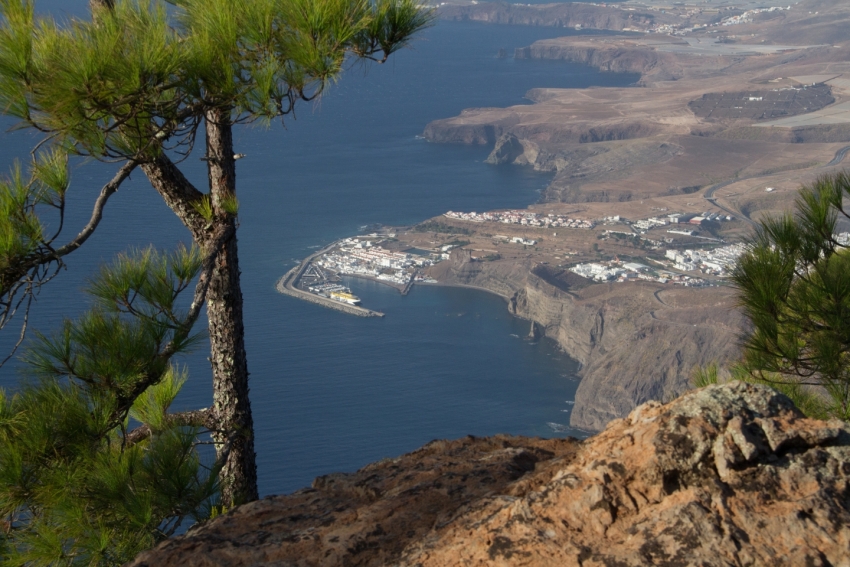
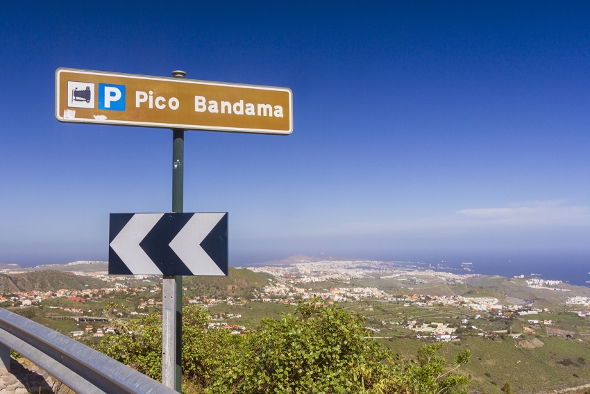
GCF 605: From Pueblo Mogán To The Gran Canaria Highlands
One of the three great barranco drives up into the Gran Canaria highlands, the GC 605 hairpins its way up the Mogan Valley until it reaches the cumbres at Ayacata village just below Roque Nublo.
GC 216: Epic Views From The Tamadaba Loop Road
The Tamadaba loop road gives you the best views out over the Atlantic Ocean towards Tenerife and Teide volcano. It's a driving must in Gran Canaria.
GC-220: Gateway to Tamadaba With Stunning Rural Scenery
This little-known rural road winds up through the northwest of Gran Canaria past cliff-edge villages and flower meadows and brings you to the wild pine forests of Tamadaba.
Islas Canarias Rally This Weekend: Road Closure Info
The Islas Canarias Rally this weekend means that stretches of road all over the island will be closed on Friday evening and all of Saturday.
On Friday, the night stages start in Teror. It then moves on to San Mateo and Telde. Expect road closures and disruption from about 19.30 until midnight all along the route.
On Saturday morning, the rally starts in Teror at 08.00 and repeats the same route to Telde. Expect road closures from 06.00 in Teror and until about 11.00 in Telde.
On Saturday afternoon, the action moves to the roads connecting Santa Lucia, Tejeda and Valleseco. The roads will be closed from 11.30 to 20.30.
See this map to check the exact roads that the rally uses. You can even download detailed route information via the Rally App here. Public viewing areas along the route are listed
Public viewing areas along the route are listed here.
The prize ceremony is at Santa Catalina Square at 21.30 on Saturday so expect a fair bit of traffic in the port.
We advise all non-petrolheads to head to the beach rather than the mountains on Saturday.
GC 15: The North Route Up To The Cumbres
The GC 15 is the main northern route up from Las Palmas to Cruz de Tejeda and the Gran Canaria highlands. It's windy but wide and runs through the green valleys and hillsides of northeast Gran Canaria and a series of interesting towns and villages.
GC 200: Gran Canaria's Most Spectacular Road
The GC 200 has it all from hairpin bends to sheer cliff-edge drops. It's Gran Canaria's most spectacular road and takes you right through the Biosphere Reserve along its most remote coast.
Gran Canaria Info recommends:
- Default
- Title
- Date
- Random


